

The main view of Zeno Mobile One displays a map with your current GPS location, along with several buttons and settings.
By default all Zeno Mobile One projects start with an OpenStreetMap layer as a background map.
To navigate around the background map:
Pan: Touch and drag one finger across the screen.
Zoom in: Place two fingers on the screen and spread them apart.
Zoom out: Place two fingers on the screen and pinch them together.
Rotate: Place two fingers on the screen and turn them in the direction you want to rotate the map.
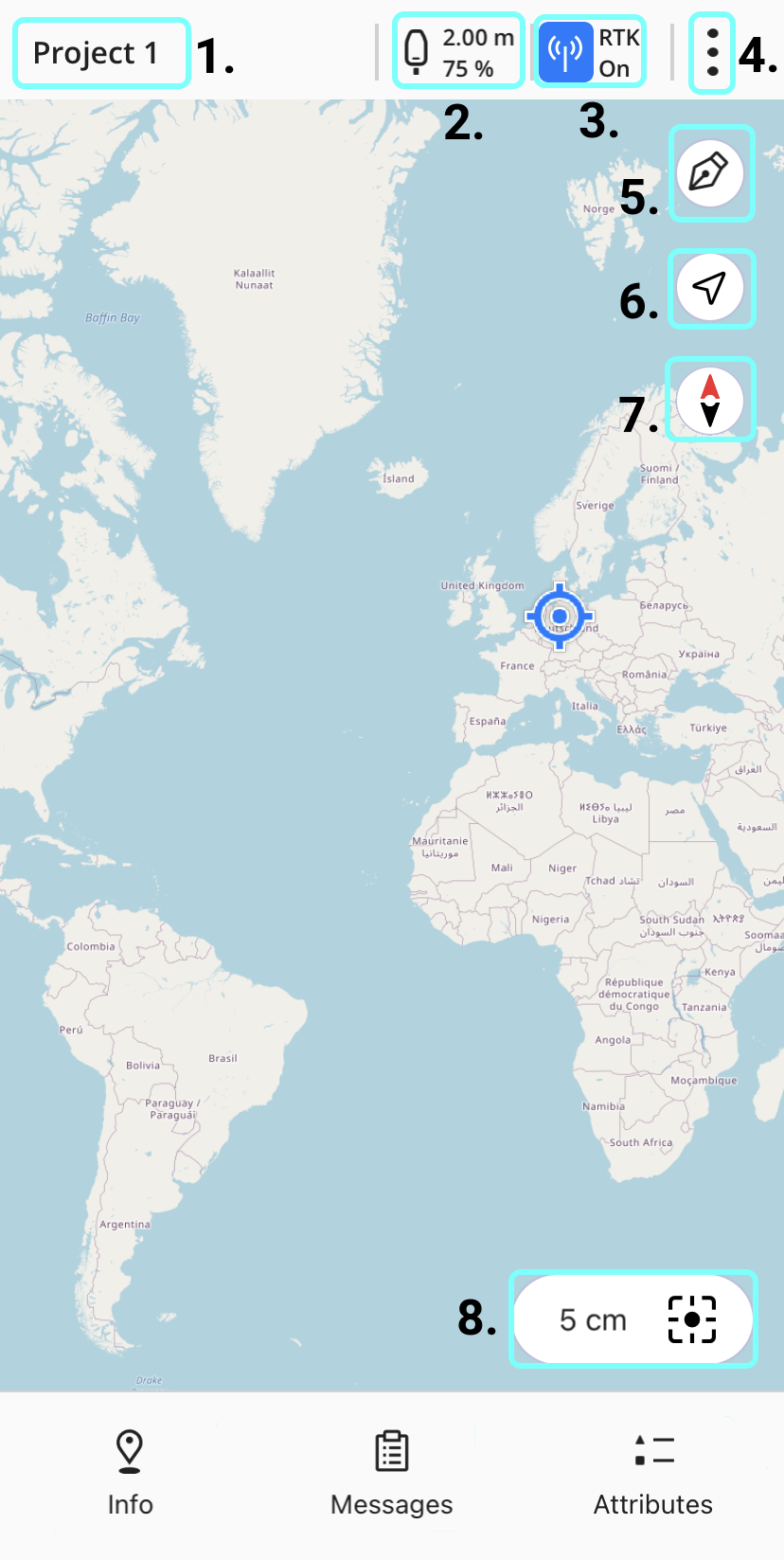
1. Project
The name of the active project is always shown in the top left of the main view. Tapping on the project name takes you to the Edit Project menu.
2. Antenna
The antenna icon indicates which antenna you are connected to, along with the antenna's current height and battery level.
-
Tapping on the antenna icon takes you to the GPS settings page.
-
If the Zeno Mobile One units settings as set to Feet, the antenna height will be displayed in decimal feet.
-
The antenna icon itself changes depending on which antenna you are connected to and how it is setup
|
Mobile device antenna |
|---|

|
|
GG04 plus |
|---|

|
|
FLX100 plus |
|||
|---|---|---|---|

|

|

|

|
|
Pole (tilt inactive) |
Upright |
Handheld |
Tilt active |
After connecting to a GG04 plus antenna, the battery percentage will not be displayed for a short time until the battery information has been sent to Zeno Mobile One by the antenna
3. RTK
The RTK button shows the current state of your RTK, SBAS or PPP connection. You can tap the button stop or start the connection to the RTK.
Depending on the current state of your RTK connection, the RTK button has several different states:
|
RTK |
|||

|

|

|
|
|
RTK is selected as the correction profile but there is either no GPS position available or no external GPS is connected. |
RTK connected to unsecure NTRIP server. |
RTK connected to secured NTRIP server. |
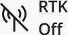
RTK is the selected correction profile but turned off. |
|
PPP |
|||

|

|
|
|
|
PPP is selected as the correction profile but there is either no GPS position available or no external GPS is connected. |
PPP connected. |
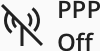
PPP is the selected correction profile but turned off. |
|
|
SBAS |
|||
|

|
|
|
|
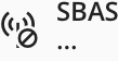
SBAS is selected as the correction profile but there is either no GPS position available or no external GPS is connected. |
SBAS connected. |
SBAS is the selected correction profile but turned off. |
|
4. Settings
The settings menu, located on the right side of the top menu bar, gives you access to Projects, Layers, and Settings.
5. Digitise
To manually digitise features on the map instead of using GPS measurements, activate the digitise button in the top-right corner and draw features with your fingers on the touchscreen.
When active, the digitise button turns blue and the GPS measurement button disables. To take GPS measurements, deactivate digitise mode to enable the measure button.
6. Zoom to location
Tapping the zoom to location button centers the map on your GPS current position.
Tapping the north arrow rotates the map so that North is aligned at the top of the screen.
7. North arrow
8. Measure button
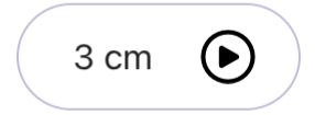
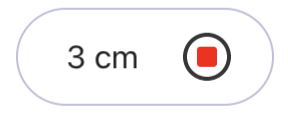
The measure button shows your current estimated horizontal GPS accuracy. To record a GPS measurement at your location, tap the button.
Depending on the current state of your GPS antenna and which settings or functions are being used, the measure button has several different states:
|
No antenna connected. |
|
Active GPS position. |
|
Tilt on but uninitialised. |
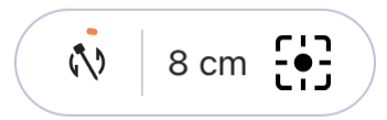
|
Tilt on partially initialised. |
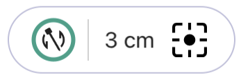
|
Tilt on and fully initialised. |
|
Streaming on. Tap the button to start streaming. |
|
Streaming active. Tap the button to stop streaming. |
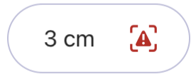
|
GPS position quality is outside the set position limits. |
Landscape mode
On a tablet, Zeno Mobile One automatically switches the main view to landscape mode when you rotate the device. The menus and buttons remain in the same positions.
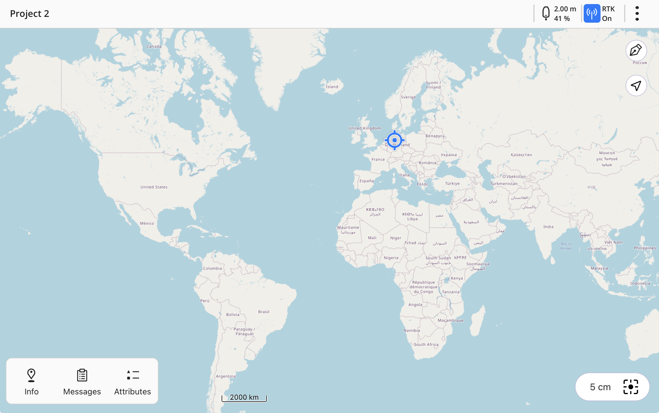
Landscape mode is only available for tablets. If you rotate a phone the main view will stay in the same portrait mode.